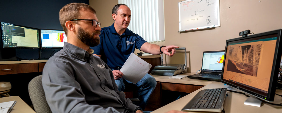
Technology has made creating a geospatial inventory of transportation assets far more accessible than it used to be. However, this asset data may be accumulated from many different sources and may have been collected using disparate techniques and technology, resulting in data that is formatted differently.
The inability of different systems to talk to each other often means that municipalities and departments of transportation frequently resort to recollecting data they already have because of a siloed department structure. This is costly and limiting.
But PILLAR can solve this problem. We can aggregate and normalize data from many different sources (from paper to pdf to complex databases) and departments, giving your organization far greater flexibility and eliminating the need for costly recollection of data you already have.
Getting started
PILLAR will gather all the data files you have already collected, identify what technology generated the data, then audit it and identify a storage solution for optimal visualization for the end-user. We determine goals and help create visualization tools that provide decision-makers with accessible information at their fingertips.
We will get your data into a format that will allow your organization to analyze your data and compare it to other information sources layering artificial intelligence over top of “Big Data.” The resulting enhanced database will allow you to make more informed decisions based on more complete and interconnected information.
In addition, a point cloud analysis powered by PILLAR AFES (automated feature extraction system) will let you provide asset data across your organization, integrating databases and streamlining processes to cut time and share costs.
We’ll help you create a truly useful geospatial inventory of transportation assets that can help determine your priorities, focusing on getting the best return on investment.
Contact PILLAR today so we can get started aggregating your data.

