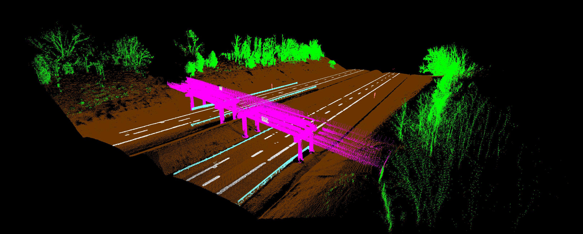
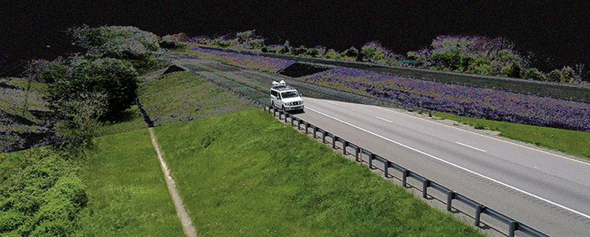
Effective transportation infrastructure asset management starts with understanding your full inventory of assets and their condition. The resulting point clouds from Mobile LiDAR provide a clear picture of your transportation assets and their condition to make data-driven decisions quickly and cost-effectively. Mobile LiDAR captures roadway and infrastructure assets at posted speed limits, thereby collecting data […]
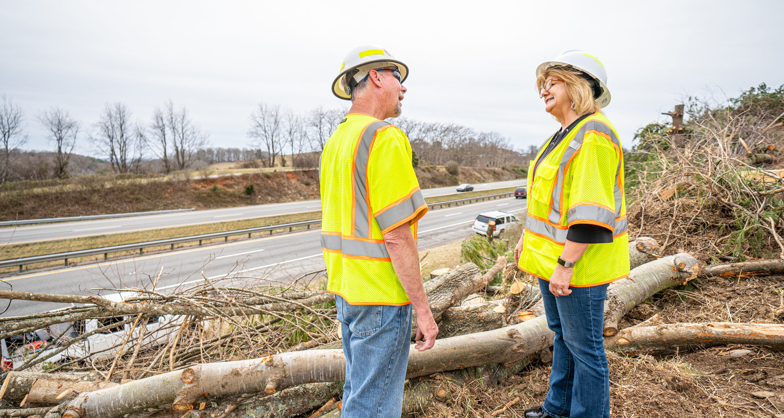
An innovative application of LiDAR-based mapping for mowing management implemented by the Virginia Department of Transportation -Staunton District is saving the agency millions of dollars annually by converting interstate rights-of-way into pollinator habitats. The innovative program just earned VDOT’s Staunton District the coveted agency’s Environmental Stewardship Award. VDOT’s Staunton District Roadside Manager Scott Nye and […]
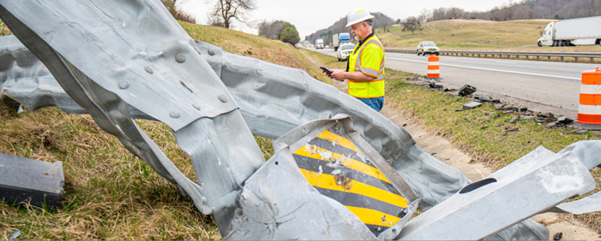
Transportation surveyors are frequently exposed to significant danger from traffic as they work to collect the asset data required to maintain, build, or repair infrastructure. The Bureau of Labor Statistics reported that transportation incidents accounted for 76% of roadway work zone fatal occupational injuries between 2011 and 2017. In 60% of these transportation events, the […]
National Work Zone Safety Awareness Week is April 26 – 30 National Work Zone Awareness Week, April 26-30, is a timely reminder for motorists to stay alert for DOT and other workers. In 2020, work zone crashes and fatalities increased, despite lower traffic volumes due to COVID-19. Distracted Driving Costs Lives Even a small mistake by […]
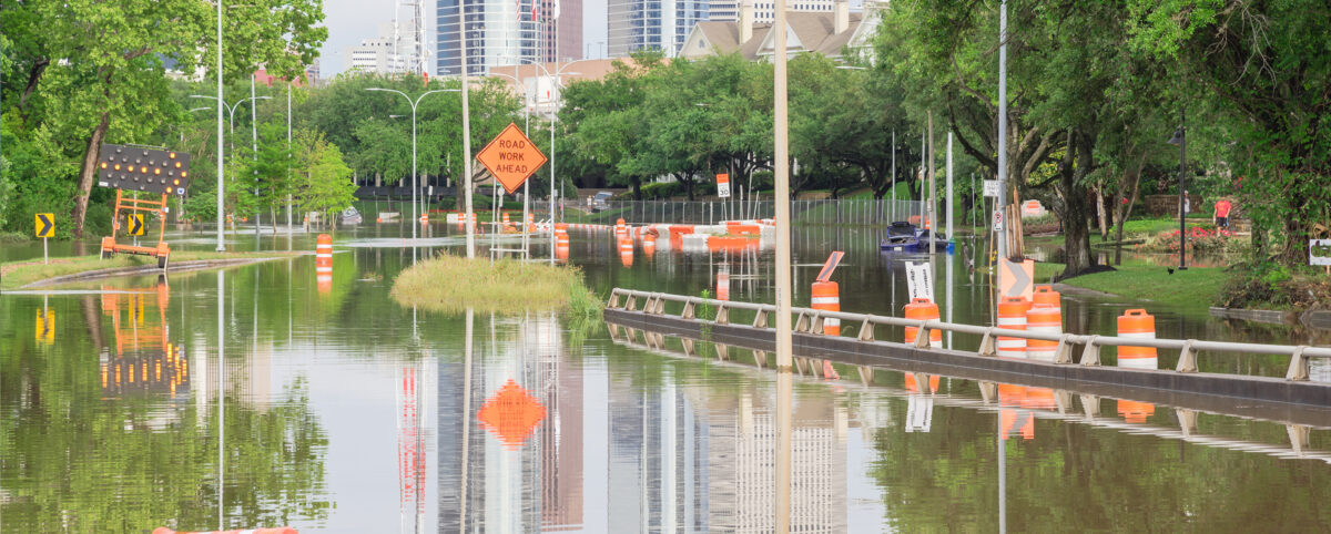
In recent years, local municipalities and the federal government have invested millions to make their cities more resilient and prepare for natural disasters, along with mitigating the imposing threats of climate change. Local and federal governments are realizing the critical role transportation infrastructure plays in assisting in disaster and climate adaption efforts and are searching […]
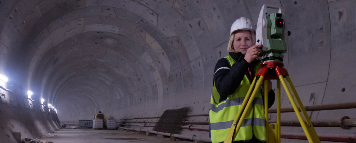
Geospatial technologies increasingly allow engineers and experts to evaluate assets quickly and accurately. Since the Department of Labor introduced geospatial guidelines for professionals in 2010, new methods and approaches have emerged with promising results. Explore these technologies and their diverse applications below. Learn how advanced firms like PILLAR can help you evaluate assets, collect data, and improve […]
Knowing the location, material, condition, and context of all your geospatial assets requires full-scale understanding. Without this global and granular view of your assets and infrastructure, it’s difficult to support decisions intended to improve assets, manage maintenance, and more. Learn some of the most important reasons you need a geospatial asset inventory including emergency management, compliance, and […]
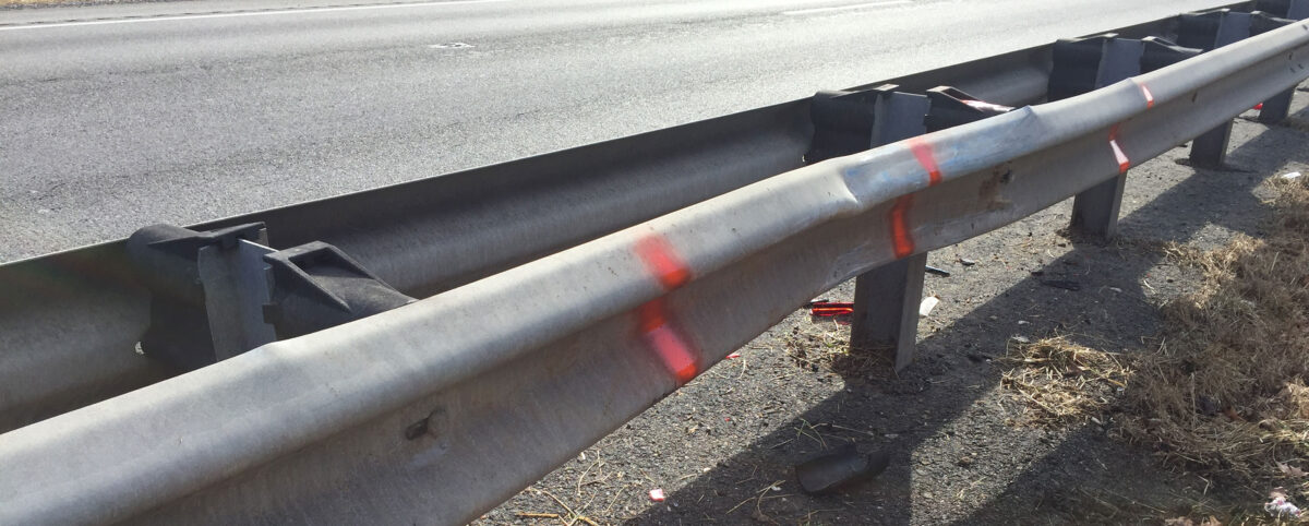
Effective infrastructure asset management starts with an accurate assessment of inventory conditions. Using condition rating criteria enables managers to identify the appropriate treatments and the optimal time to maintain or correct issues. The result extends the life of infrastructure assets while controlling costs. How Condition Rating Criteria Helps Transportation Asset Management In essence, condition rating […]
