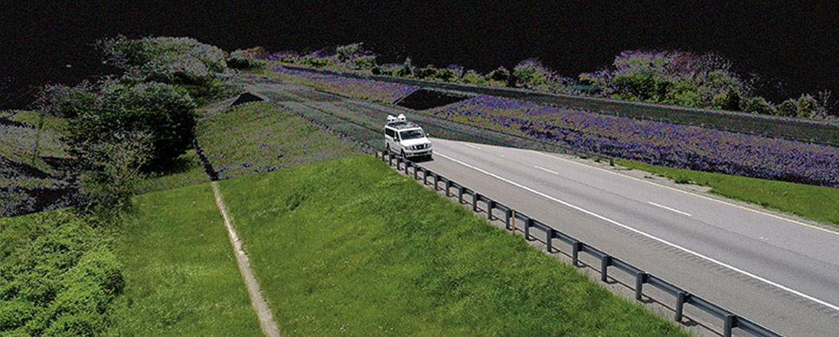
An innovative application of LiDAR-based mapping for mowing management implemented by the Virginia Department of Transportation -Staunton District is saving the agency millions of dollars annually by converting interstate rights-of-way into pollinator habitats. The innovative program just earned VDOT’s Staunton District the coveted agency’s Environmental Stewardship Award.
VDOT’s Staunton District Roadside Manager Scott Nye and Interstate Maintenance Contract Administrator Guy Tyrrell needed a better way to track vegetation mowing so they collaborated with PILLAR Operations & Maintenance Advisors to develop a solution.
PILLAR worked with Tyrrell and Nye to leverage LiDAR-based mapping and PILLAR’s proprietary automated feature extraction (AFES) software to quickly and efficiently identify VDOT acreage that requires mowing. The approach provides a highly accurate way to measure and track mowing costs and allows quick and easy adjustments to mowing operations. More importantly, the data from the LiDAR mapping method enabled the team to see a better solution– a large percentage of the interstate rights-of-way could be set aside for pollinator habitats without compromising public safety or roadside aesthetics.
The Staunton District has now allocated more than 5,100 acres of mowing operations to only once per year in the fall. This acreage set aside as meadow can be transplanted into stormwater pollutant “credits” to support the total maximum daily load pollutant reduction requirements VDOT’s MS4 permit. The conversion of mowed turf into a meadow condition equates to a 15,800-pound reduction in nitrogen that would otherwise reach the Chesapeake Bay, saving VDOT about $12.8 million in mitigation projects and nitrogen-credit purchases.
Learn more about how Pillar can work with your DOT or municipality to see the bigger picture and develop cost-efficient transportation asset management solutions.

