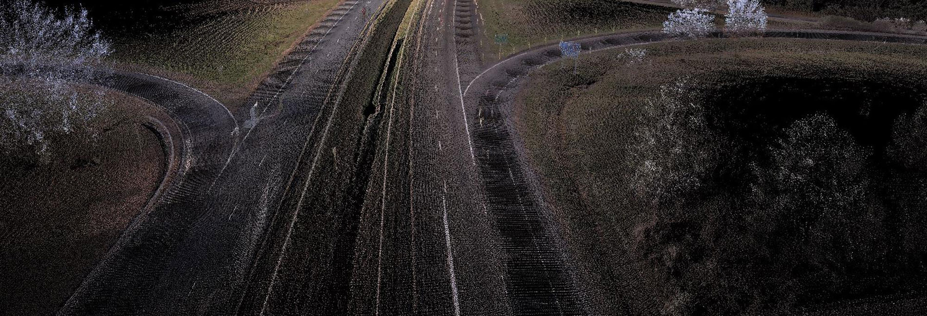
PILLAR will provide the type of accuracy required for the job.
Relative Accuracy
Typically used for mapping grade work and obtaining inventory and measurements, relative accuracy is the exact relationship between point to point within the point cloud obtained.
Absolute Accuracy
Typically used for design or survey grade work, absolute accuracy is the exact relationship between the point collected and its true position – latitude, longitude and elevation – on the ground. This requires setting control points by our survey crews along the scan path so that specific identified points in the point cloud can pull the point cloud to the control point (known location). The more control points set, the higher the accuracy.
When should I use which accuracy? Is one better than the other?
That depends on several factors – desired outcomes, timeframe, and budget.
Having trouble determining which accuracy you need? Give us a call at 276.223.0500 or complete the form below.


